How did I do it?

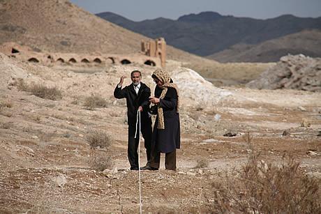
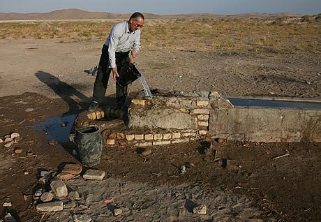
In Isfahan, the master craftsman currently in charge of renovating the Safavid buildings in New Julfa explained the different types of traditional rope to me and also described how the maximum length for any rope was determined by the size of buildings, and therefore by the standard size of Safavid bricks. He then helped me …

See more

How did I do it?

Munajjim Yazdi, Shah Abbas’ astrologer royal, accompanied the Shah along the 1601 walk and produced day-to-day records, itemising the stopping places and recording the distances between them using a tanab – a rope measuring 39.9m. I found Yazdi’s tanab measurements extremely useful when I was searching for Abbas’ stopping places, and was keen to investigate how easy it was …

See more

Up through Kashan

This schematic drawing shows the final part of Shah Abbas’ 1601 walk, as well as the later Safavid Royal Highroad (small dots) up to the Mazanderan palaces of Ashraf and Farahabad.

Up through Kashan

This satellite image shows the last – and longest – section of Shah Abbas’ walk, along the Khurasan Highroad to the Holy City of Mashhad.

Up through Kashan

Here I am on the Sang Farsh (370km from Isfahan). This causeway is still in remarkably good condition 400 years after its construction.

Up through Kashan

After the 1601 walk, Abbas ordered the construction of Sang Farsh (literally, ‘stone carpet’): a 30km causeway over the salty mud. Before this was completed, Della Valle describes his horses sinking into the mud up to their girths – in the dry year of 1618. Despite the challenging conditions for any construction, Sang Farsh can still be clearly seen …

See more

Up through Kashan

Shah Abbas had to cross 30km of salt mud in 1601.  He halted at Pul-i Shurab (literally, Bridge over the Salty/Sour River: 367km from Isfahan) – the remains of which are shown here. The white ‘icing’ is salt deposited from the water, which is saltier than salty sea-water.

Up through Kashan

After the Darya Namak, is Qasr-i Bahram (also called Abbasabad and Siyahkuh). This is a unique and very lovely white-stone building, which is reputed to have been constructed as a hunting lodge for Shah Abbas I. The nearby Haramserail apparently provided accommodation for Abbas’ wives and children. Archive images of these buildings are included here.

Up through Kashan

Yazdi reports that Abbas walked 67km in one stage over the Darya Namak (literally, ‘salt sea’). This distance seems impractical: although I agreed with Pietro della Valle that the walking over this otherworldly landscape is “truly the most agreeable that I can say” – at dusk and in the night, anyway; in 1617, della Valle …

See more

Up through Kashan

The bucket well shown here, at Dastkan (273km from Isfahan), has sweet and pure water despite being in sight of the salt plains (look top left, for the white sheen at the foot of the mountains). Although the spot is now desolate, in 1617 Pietro della Valle stayed in one of the two local caravanserais.