Location
Crossing the line: in more than one way
Prime meridian – and longitude clocks
More than one nowhere?
Ships : slave ships and the West Africa Squadron
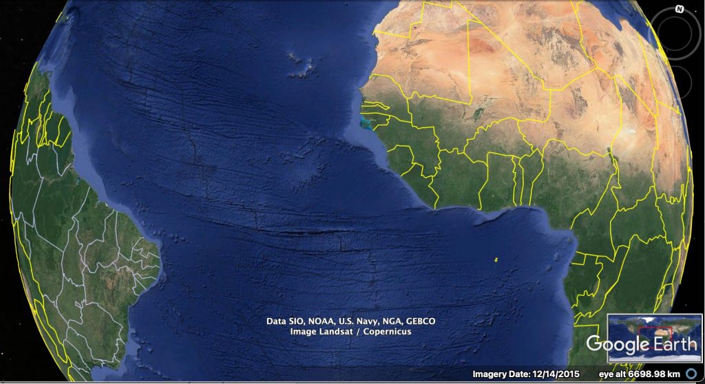
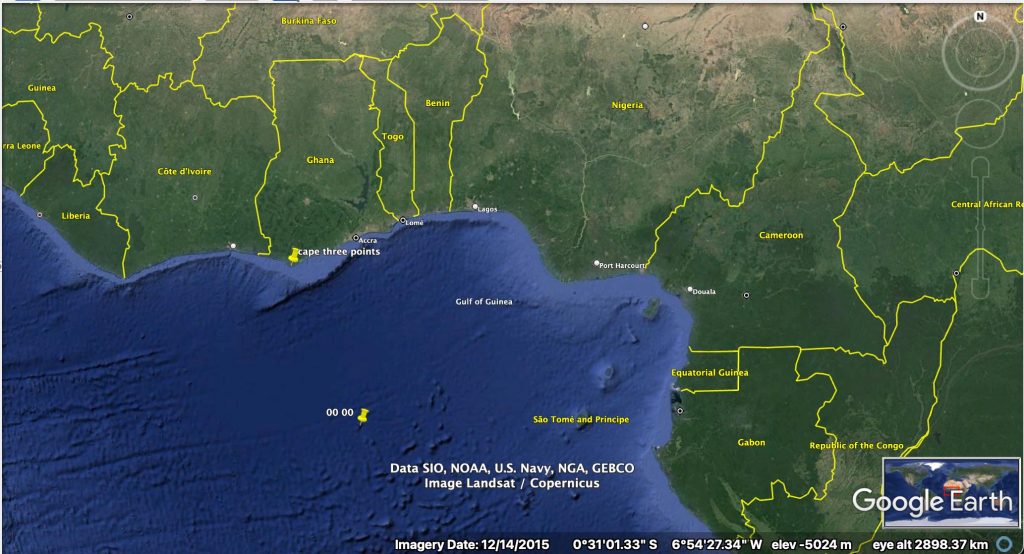
a. LOCATION
- image from Google Earth – focused on 00 00
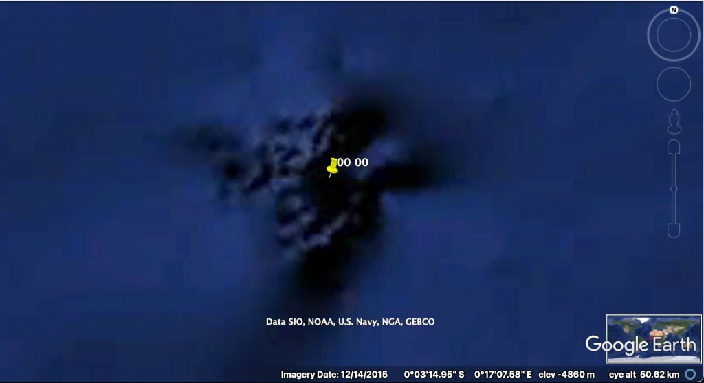
b. Whats it like at 00 00?
b. CROSSING THE LINE
- The Equator
Crossing the equator is marked by sailors with ceremonies to Neptune as detailed here: https://hmsgambia.org/equator.htm and shown here:
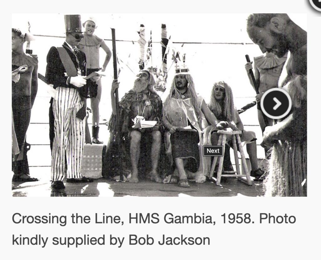
Would sailors on ships carrying enslaved individuals have carried out these ceremonies? Could enslaved individuals have heard these ceremonies?
2. Other sorts of crossing the line?
Of course the Black Atlantic ‘crossed the line’ in other ways – the forcible ‘trade’ of abducted individuals and then paying ‘compensation’ to the ‘owners’ and not the enslaved individuals is vile and abhorrent
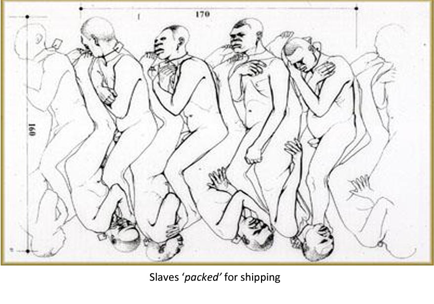
Does thinking about / imagining what it might be like for enslaved individuals as they pass 00 00 also cross a line of unacceptability?
c. PRIME MERIDIAN
c1. Why does the Prime Meridian run through Greenwich? https://www.rmg.co.uk/stories/topics/what-prime-meridian-why-it-greenwich#:~:text=The%20Greenwich%20Meridian%20was%20chosen,for%20the%20International%20Meridian%20Conference.
“There were two main reasons for the choice. The first was the fact that the USA had already chosen Greenwich as the basis for its own national time zone system. The second was that in the late 19th century, 72% of the world’s commerce depended on sea-charts which used Greenwich as the Prime Meridian”
The telescope that defined the Greenwich meridian was built in 1850 https://www.rmg.co.uk/stories/topics/airys-transit-circle-dawn-universal-day
“The Greenwich Meridian was chosen as the Prime Meridian of the World in 1884. Forty-one delegates from 25 nations met in Washington DC for the International Meridian Conference. By the end of the conference, Greenwich had won the prize of Longitude 0º by a vote of 22 to 1 against (San Domingo), with 2 abstentions (France and Brazil).”
So the Greenwich Meridian wasnt central in the worst days of the Black Atlantic.
c2. Longitude clocks
These were a big issue: https://www.rmg.co.uk/stories/topics/harrisons-clocks-longitude-problem And Harrison’s longitude clocks werent agreed to be accurate until 1765
see here for when the original Harrison clocks last worked: http://news.bbc.co.uk/1/hi/sci/tech/1864737.stm
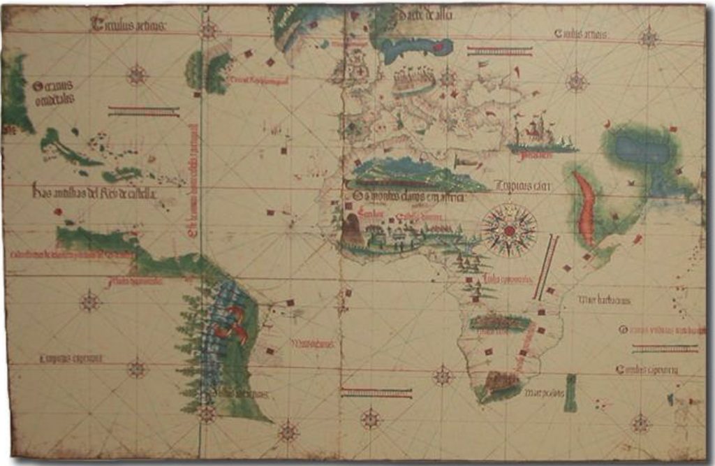
Look at the dates! Most of the slavers were navigating using the old ways.
As in this Portuguese chart:
D. MORE THAN ONE NOWHERE?
d1. different languages?
Yoruba for nowhere is nibikibi
igbo for nowhere is
enweghị ebe
should we look for other words? in other languages
d2. in Africa?
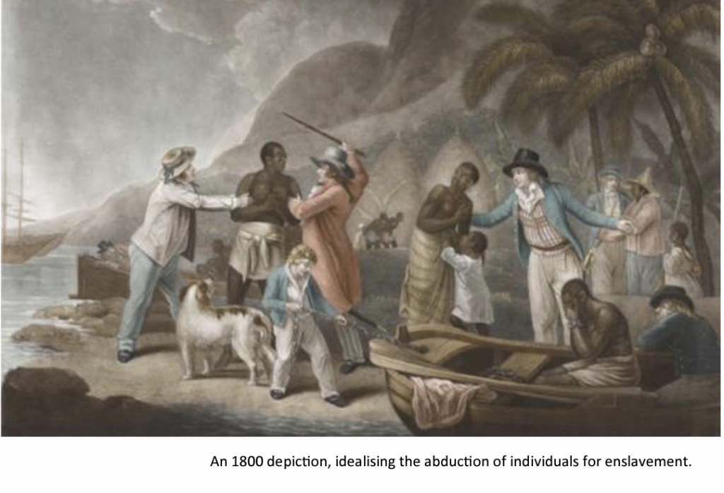
I think there were more unknown nowheres before 00 00.
Abductions were not like this saccharine image:
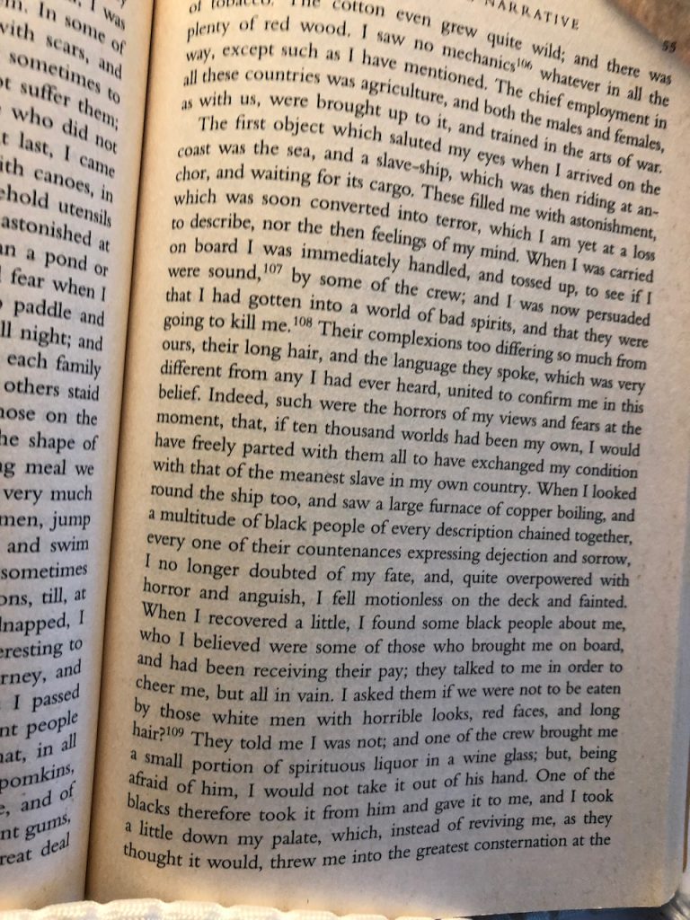
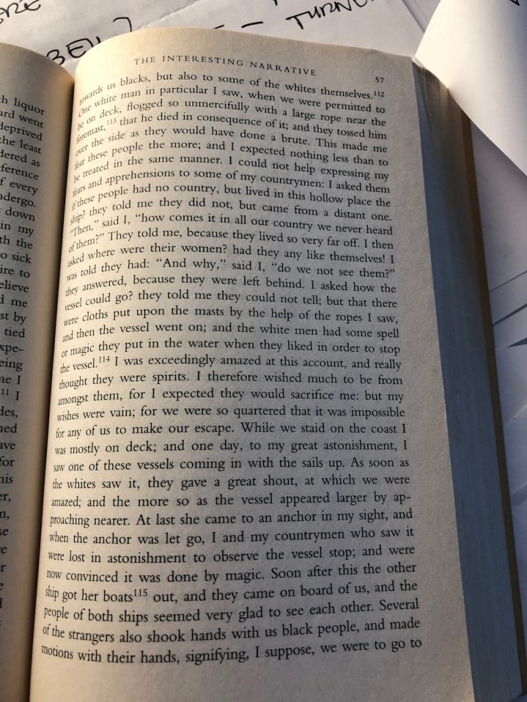
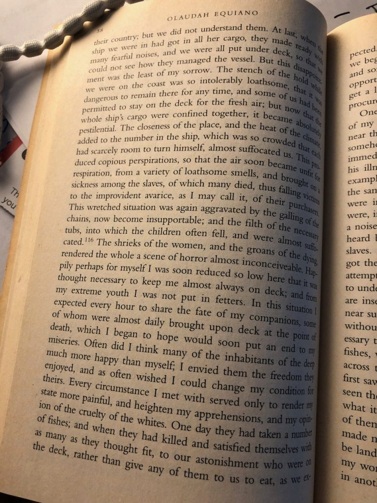
Oloudah Equiano https://www.bl.uk/collection-items/the-life-of-olaudah-equinao?gclid=Cj0KCQiAyMKbBhD1ARIsANs7rEGqoQdViKI8LvfDdMNdyPEkqK2WJ08Xi34005X1me-ahWLL_h7RtY8aAgmaEALw_wcB has written a detailed account . Theres an earlier part from c.1750s, as he crosses parts of Africa.
Im including some later pages here – describing seeing / going onto sailing boats – i have the whole book and could share more:
E. SLAVE SHIPS
lots more to come here
check out: Fons America: see https://allinbritain.org/biting-masquerade-and-compassion-kara-walkers-fons-americanus/
This includes “a figure of a male slave figure on a small boat, perhaps escaping from a slave-ship, seeking safety from the shark-infested waters. The boat has the inscription K. West. Could this be referencing the controversial rapper/hip-hop artist Kanye West who was slammed for saying “slavery is a choice” in May 2018?”
Its been described as “ ‘Rule Britannia’ visually sampled and distorted”
Can we sample from this? Learn from it?