How did I do it?

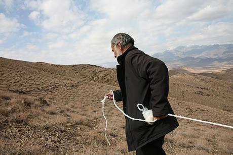
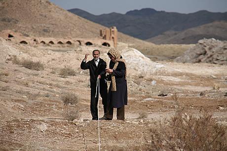
After we perfected rope-measuring on the flat, we also tried it out up and around hills. Along the Khurasan highroad, between two extant buildings where the Shah is known to have stopped on his 1601 walk, I have also compared the tanab with several other measurement systems.

How did I do it?

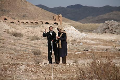
A lecturer in (modern) building metrics at the Islamic Azad University in Isfahan (standing to right) helped me get a rope-measuring team together. Near the Sardahan Caravanserai we soon found a simple and fast way of working. One person leads off at the front then, when the rope is fully extended, signals to the back-marker …

See more

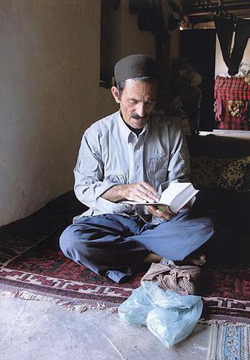
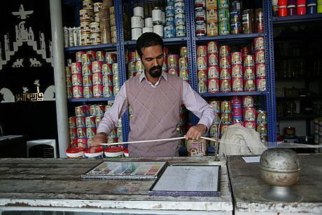
How did I do it?

In Isfahan, the master craftsman currently in charge of renovating the Safavid buildings in New Julfa explained the different types of traditional rope to me and also described how the maximum length for any rope was determined by the size of buildings, and therefore by the standard size of Safavid bricks. He then helped me …

See more

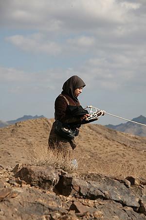
How did I do it?

Munajjim Yazdi, Shah Abbas’ astrologer royal, accompanied the Shah along the 1601 walk and produced day-to-day records, itemising the stopping places and recording the distances between them using a tanab – a rope measuring 39.9m. I found Yazdi’s tanab measurements extremely useful when I was searching for Abbas’ stopping places, and was keen to investigate how easy it was …

See more

Up through Kashan

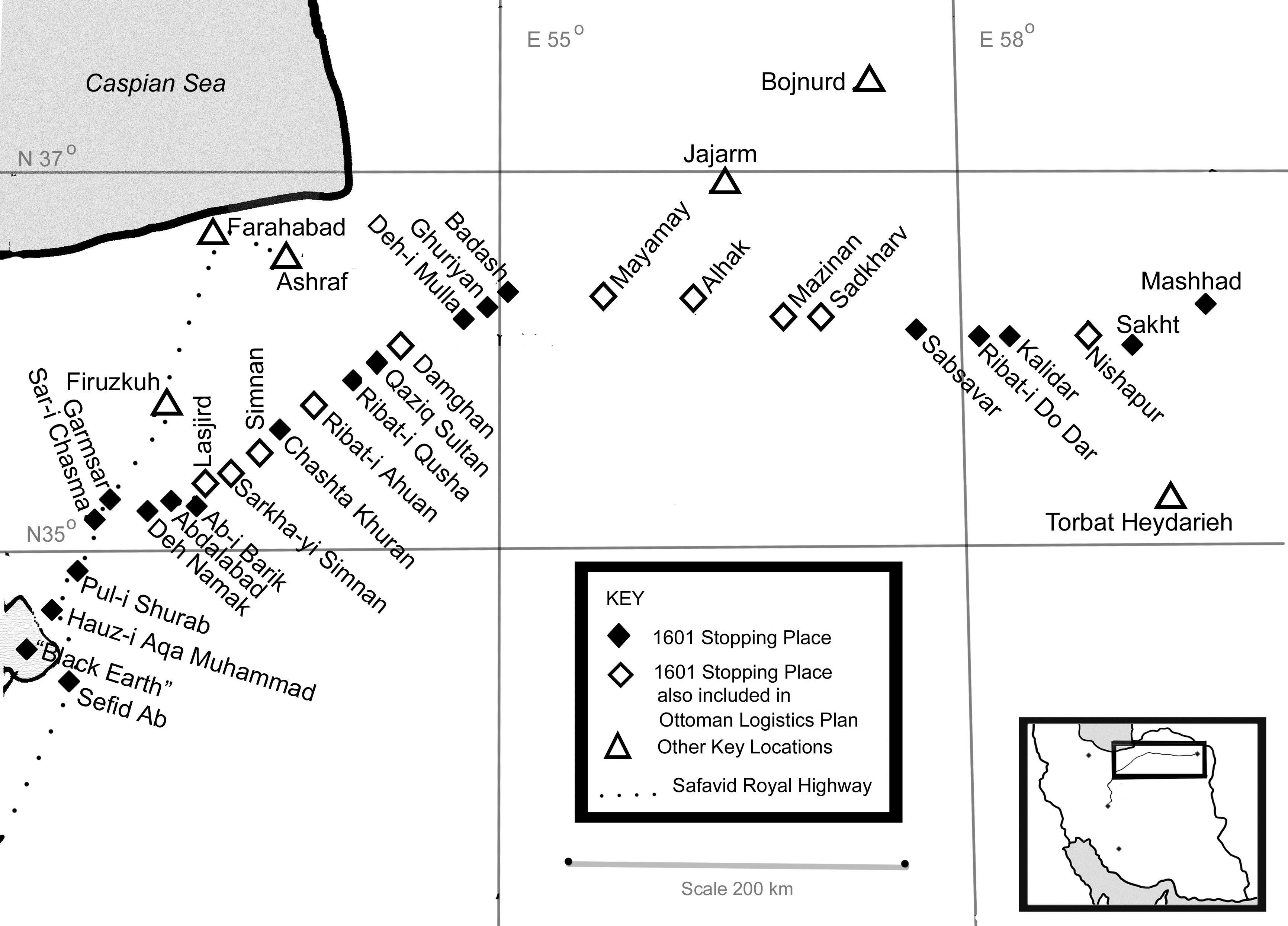
This schematic drawing shows the final part of Shah Abbas’ 1601 walk, as well as the later Safavid Royal Highroad (small dots) up to the Mazanderan palaces of Ashraf and Farahabad.

Up through Kashan

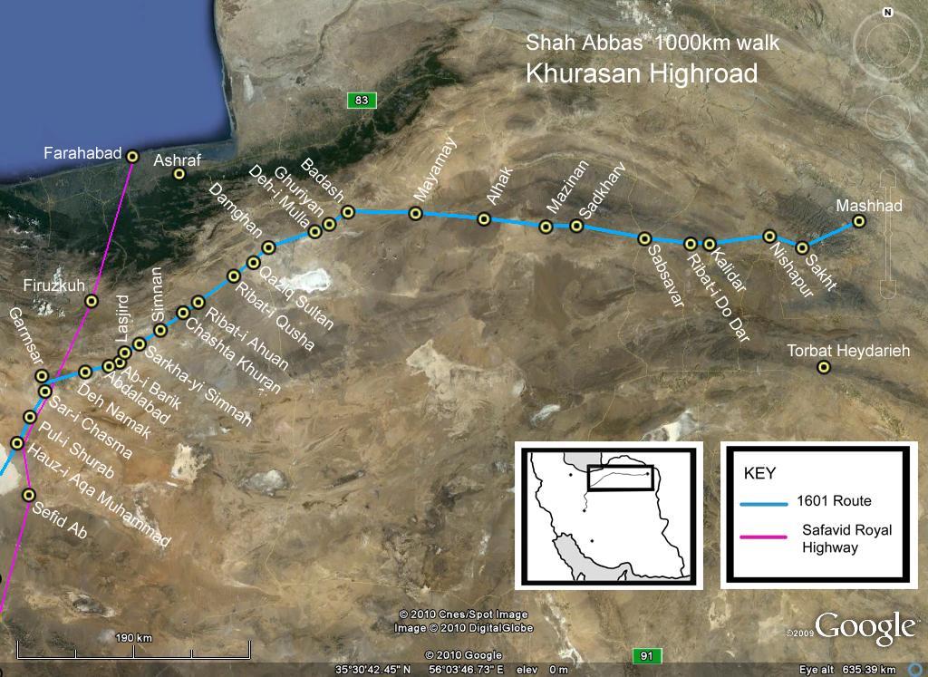
This satellite image shows the last – and longest – section of Shah Abbas’ walk, along the Khurasan Highroad to the Holy City of Mashhad.

Up through Kashan

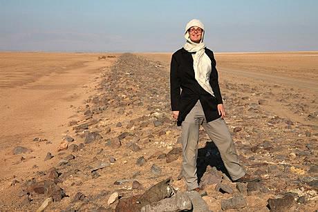
Here I am on the Sang Farsh (370km from Isfahan). This causeway is still in remarkably good condition 400 years after its construction.

Up through Kashan

After the 1601 walk, Abbas ordered the construction of Sang Farsh (literally, ‘stone carpet’): a 30km causeway over the salty mud. Before this was completed, Della Valle describes his horses sinking into the mud up to their girths – in the dry year of 1618. Despite the challenging conditions for any construction, Sang Farsh can still be clearly seen …

See more

Up through Kashan

Shah Abbas had to cross 30km of salt mud in 1601.  He halted at Pul-i Shurab (literally, Bridge over the Salty/Sour River: 367km from Isfahan) – the remains of which are shown here. The white ‘icing’ is salt deposited from the water, which is saltier than salty sea-water.